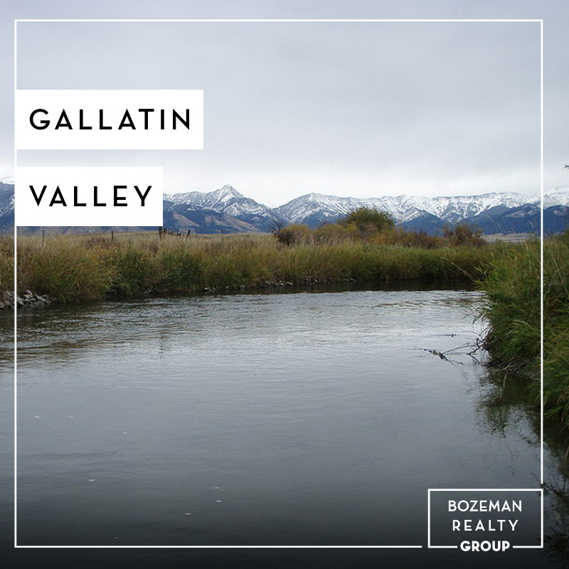
Located in a sweeping valley in the heart of the Rocky Mountains, Gallatin County is the most populated and fastest growing county in scenic southwest Montana. Gallatin Valley has a rich history. Native americans referred to this area as the “Valley of Flowers”. The name seems appropriate because of the great variety of wild flowers found on the mountainsides as well as in the valley.
Gallatin Valley derives its name from the Gallatin River, one of the forks of the Missouri river that rises in Yellowstone Park. The Gallatin river, Jefferson river, and Madison river all merge at the town of Three Forks to form the Missouri River. Lewis and Clark named the rivers on their famous expedition to this part of the world in 1805.
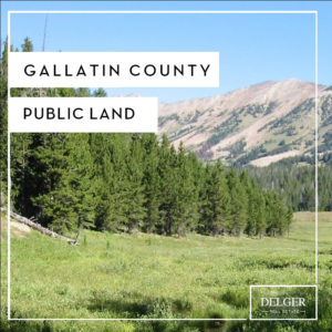
There are approximately 1,682,048 acres(2,500 square miles) in Gallatin County including over 16,500 acres in surface water. Approximately 800,000 acres in Gallatin County are owned by the public(view
Gallatin County Public Land Map) and managed by several local and national agencies including the Bureau of Land Management, U.S. Forest Service, National Park Service, Montana Fish Wildlife & Parks, Montana Department of Transportation, Department of Natural Resources & Conservation and various local governments. The U.S. Forest Service is the largest land holder in Gallatin County, currently managing over 665,000 acres. In addition to the Forest Service, various state departments manage approximately 61,000 acres. The Bureau of Land Management holds just over 9,000 acres and an additional 1,600 acres belongs to local governments. On the southern edge of Gallatin County is Yellowstone National Park. Yellowstone National Park is one of the world’s primary wildlife preserves and has the greatest concentration of geysers and hot springs in America. Yellowstone National Park is 2,219,789 acres in size(Larger than Rhode Island and Delaware combined). Over 97,600 acres of Yellowstone National Park is located within Gallatin County.